Tides and Currents in Lofoten
Understanding Tides as a Sea Kayaker
Sea kayaking in Lofoten is not only about wind, waves and beautiful views. One of the most important things to understand before heading out is the tide.
At first, tides can feel a bit abstract. The sea rises and falls, the water moves, and sometimes a calm-looking sound suddenly has a lot of power in it. But once you start paying attention to it, the tide becomes one of the most useful tools for planning a good day on the water.
In many areas around Lofoten, tidal flow often moves through the sounds between the islands, for example in places like Raftsundet or Gimsøystraumen. These passages can look calm from shore, but the current can still have a big effect on your route, speed and safety.
Why currents matter in a kayak
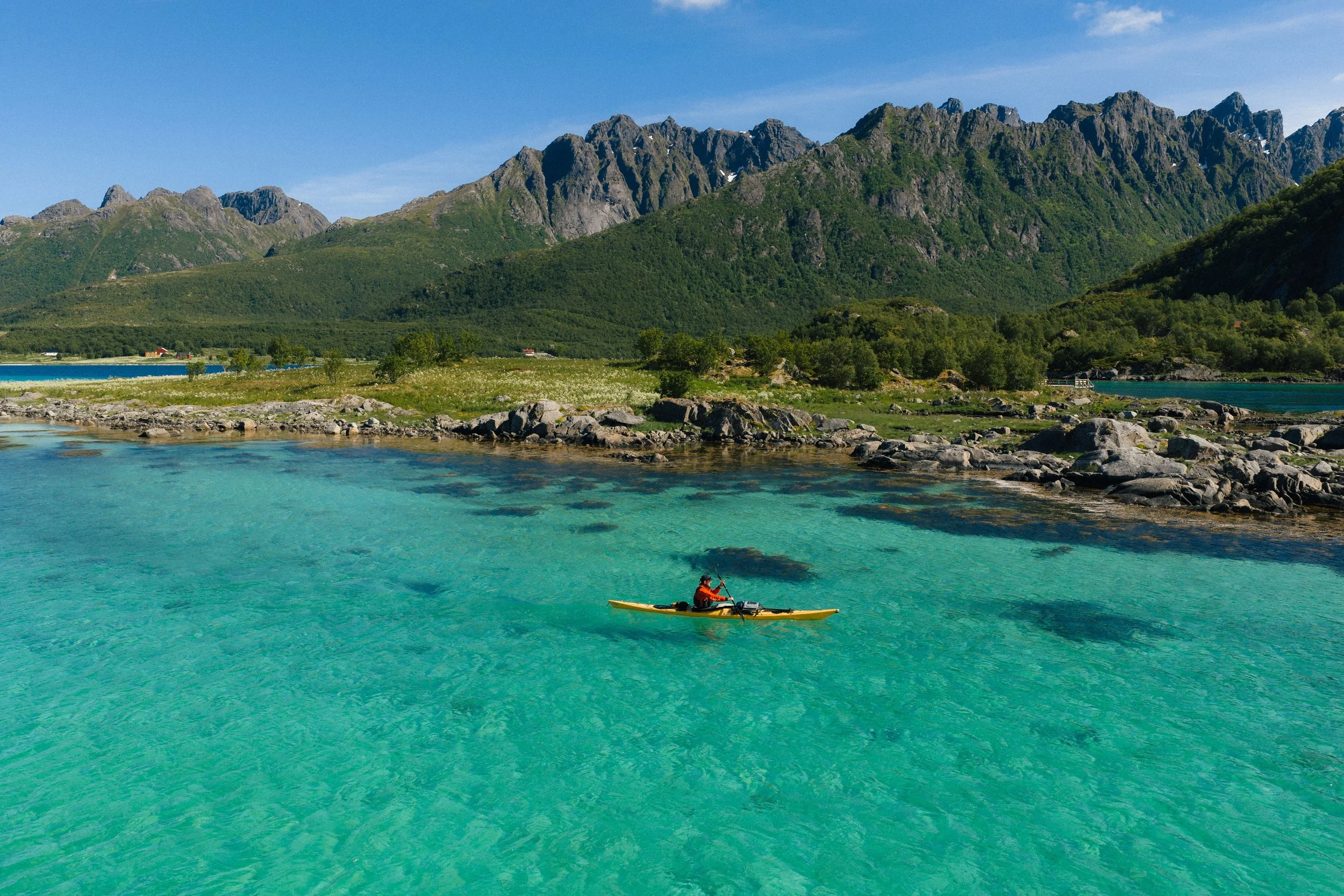
As a group of sea kayakers, we usually travel at around 2–3 knots. That means even a 1-knot current can make a big difference.
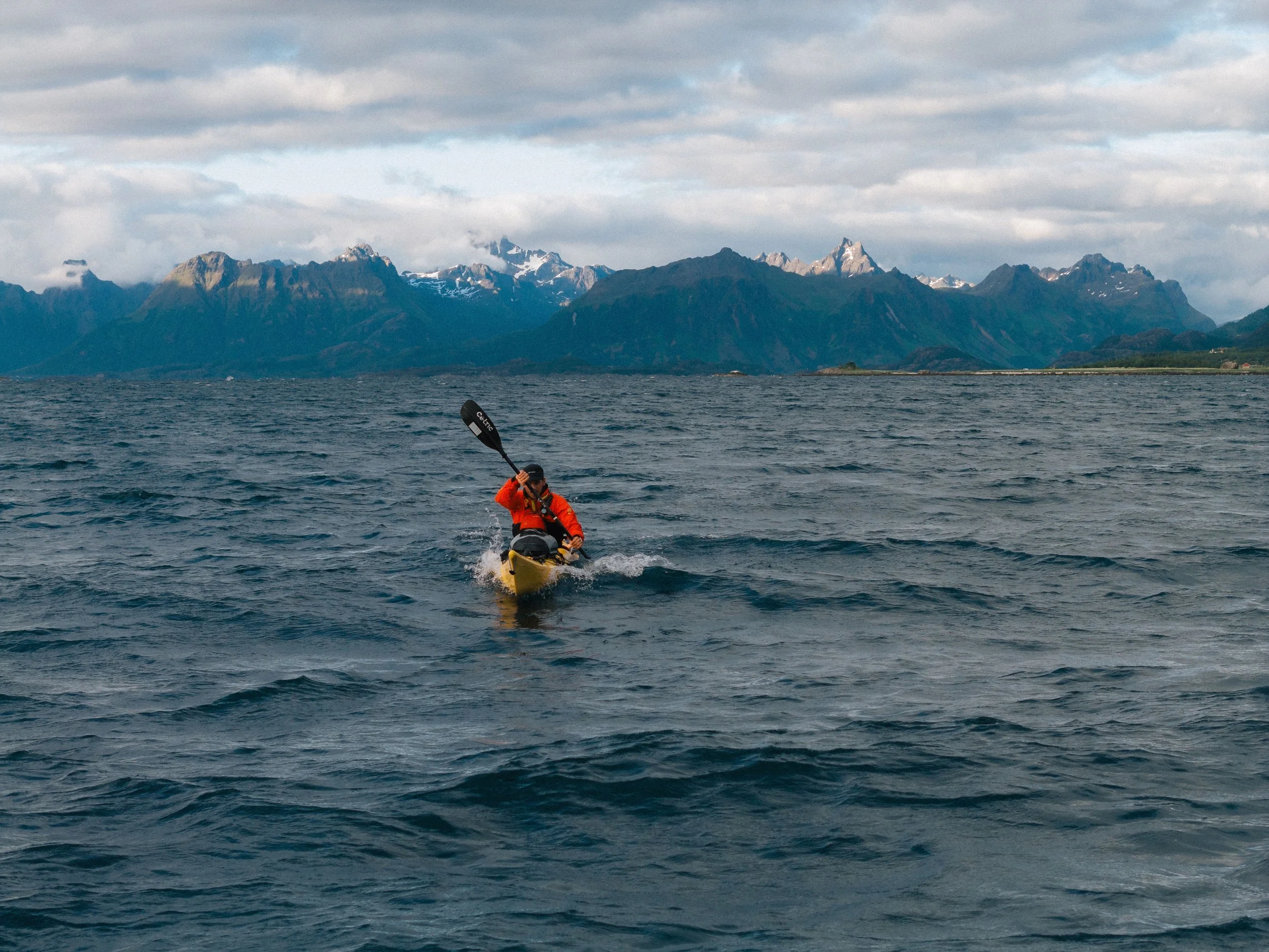
With the current behind you, a route can feel easy and fast. Against you, the same distance can become slow, tiring and frustrating. In stronger tidal areas, the current can also push you off your planned line, make crossings harder, or create confused water when wind and current work against each other.
This is why tide planning is not just a “nice extra” in Lofoten. It is part of basic route planning.
Places to be extra careful
Tidal flow can increase especially:
between small islands
in narrow sounds
under bridges
around headlands
over shallow underwater features
around bridge pillars and poles
Bridge areas deserve special attention. Around bridge pillars, the water can become turbulent and create swirls, boils and eddy lines. These can destabilize your kayak, spin the bow, push you towards the structure, or make a rescue much more complicated.
Where to find tide and current information for Lofoten
For sea kayaking in Lofoten, I highly recommend the following sources:
Se havnivå / Kartverket
Se havnivå is the first place to check tide times and water level forecasts along the Norwegian coast. It helps you understand when the tide is rising, falling, high or low.
This is useful for planning landings, shallow passages and the general timing of your trip. But remember: the strongest current in a sound does not happen exactly at high or low tide. Local geography can create delays.
Den norske los
Den norske los is one of the best resources for understanding local tidal streams in Norway. Several PDF chapters are available for download. They are written in Norwegian, but even if you translate the text, the most useful part for kayakers is often the graphics. They show how the tidal current behaves in specific sounds and narrow passages.
A good example is the current diagram for Raftsundet.

Paddling through Raftsund by sea kayak
Raftsund is one of the most beautiful kayak routes in Lofoten, but it is also a narrow, strongly tidal sound where good planning matters.
The graph is based on High Water in Bodø — not your exact local high water, so keep that in mind when using it for trip planning. The horizontal axis shows the hours before and after high water in Bodø. The vertical axis shows current speed in knots. Current above the middle line is north-going, current below the middle line is south-going.
In the Raftsund example, the red line shows the current at Raftsund Lykt, the very narrow part of Raftsundet near the light. This is where the current is strongest. The graph shows that the current starts flowing north roughly 2.5 hours before high water in Bodø. Around high water and shortly after, it can reach almost 4 knots during spring tides.
3,5 hours after high water, the current turns and starts flowing south. This means the south-going stream starts around 2 hours before low water and continues until about 3.5 hours after low water.
When I start in the north of Raftsund and want to paddle south with the flow, I usually aim to start paddling around 3 hours before low water from Hanøy. This gives me time to get moving and usually puts me into the main part of the sound as the current is flowing south. The exact timing still depends on your launch point, group speed, wind and conditions on the day.
A group of sea kayakers usually travels at around 2–3 knots, so a 3–4 knot tidal stream is not something you simply paddle against.
The exact timing and strength can vary with local conditions, wind, air pressure and neap or spring tides.
More useful resources for tide information
BarentsWatch
BarentsWatch is very helpful because it shows marine forecasts visually on a map. For some areas, including Raftsundet and Gimsøysundet, you can also find current forecasts with speed and direction.
This makes it one of the most practical tools for checking tidal flow before a kayak trip in Lofoten.
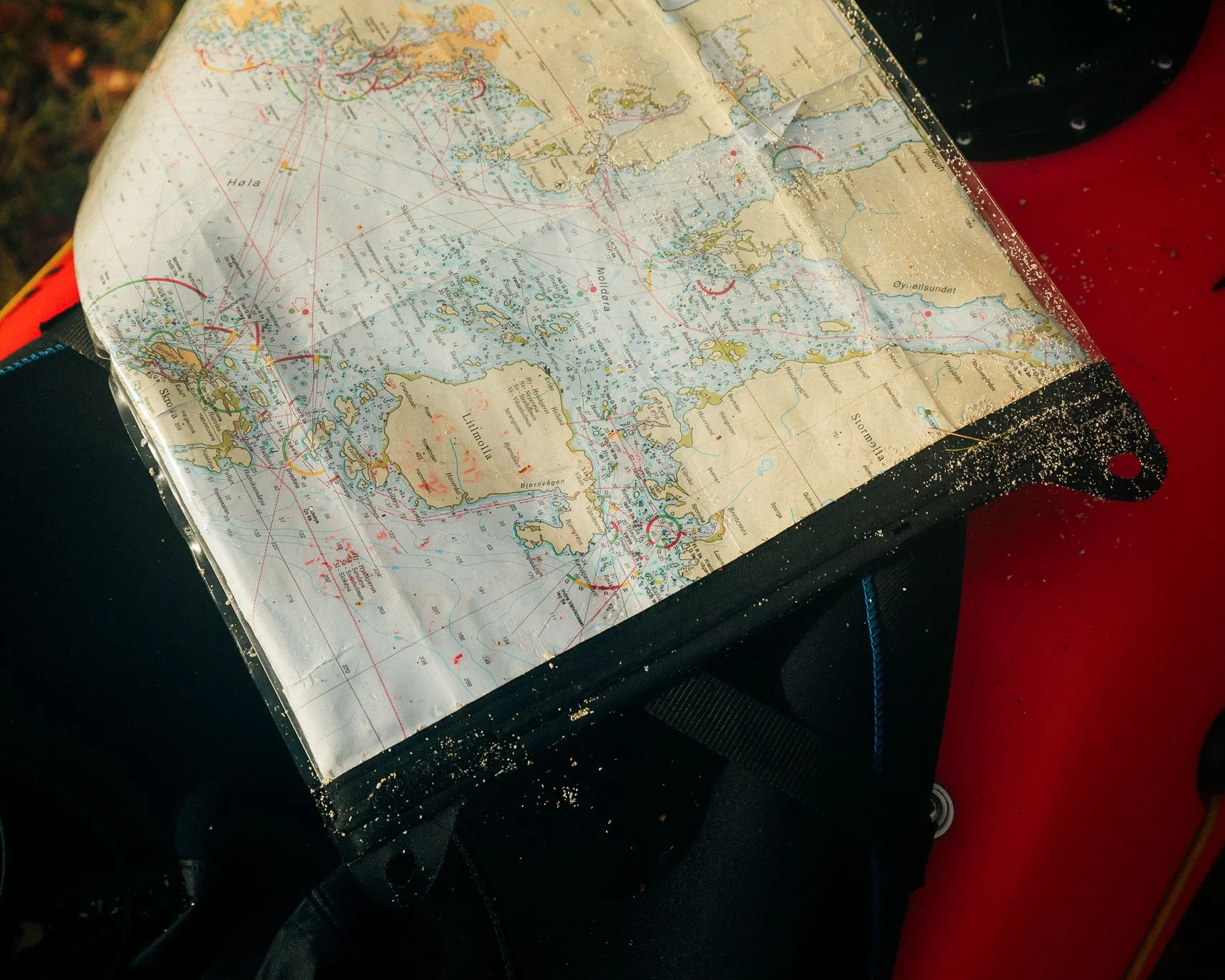
Nautical charts
A nautical chart is still one of the most important tools.
Books I recommend
Sea Kayak Navigation — Franco Ferrero
If you want to understand sea kayak navigation properly, I recommend Sea Kayak Navigation by Franco Ferrero, published by Pesda Press.
It is a compact and practical book written specifically for sea kayakers. It covers charts, tides, currents, route planning and decision making in a way that is very relevant for real trips on the sea.
The Lofoten Islands: A Sea Kayak Guide to the Magical Isles — Jann Engstad
For Lofoten specifically, I recommend The Lofoten Islands: A Sea Kayak Guide to the Magical Isles by Jann Engstad, with Olly Sanders as contributing editor.
This is one of the best resources for paddling in Lofoten. It includes route ideas, maps, local information and useful context for planning both day trips and longer multi-day journeys.
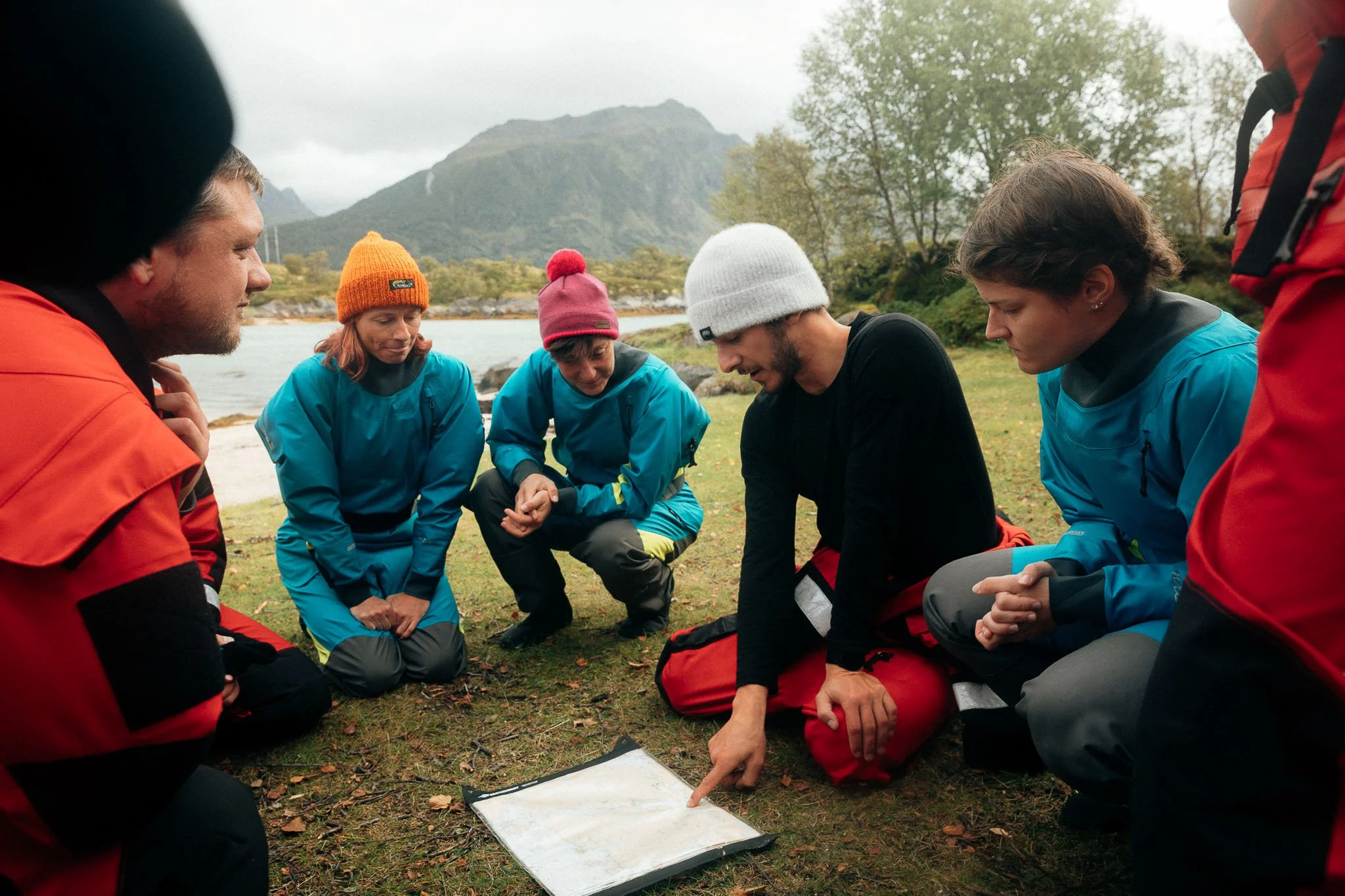
Learn before paddling independently
If you want to paddle independently in tidal areas, it is worth taking a proper navigation course.
Paddle UK / British Canoeing Awarding Body offers sea kayak navigation, tides and trip-planning modules, including online learning options. These are great if you want to better understand charts, tides, weather, route planning, crossings and decision making before going on more committing sea kayak trips.
I highly recommend Derek Hairon from Jersey for navigation courses.
Another good option is to join a local sailing or boat licence course in your area. Even if it is not sea-kayak specific, it can teach very useful fundamentals: charts, buoys, rules of the sea, weather, tide tables and navigation.
Apps and forecasts are helpful, but they should not replace basic seamanship. The more you understand the sources behind your decisions, the better and safer your route planning becomes.
Final thoughts
Tides in Lofoten are not something to be afraid of. But they are something to respect.
The more you understand tide times, current forecasts, charts and local geography, the better your decisions on the water become. And in a place like Lofoten, where islands, sounds and bridges shape the movement of the sea, this knowledge is essential.
On my guided multi-day sea kayaking, this kind of planning is part of every route. We look at the weather, wind, tides, currents and group level before deciding where to paddle. That way, the trip is not only beautiful, but also planned with the sea instead of against it.
If you want to experience sea kayaking in Lofoten with proper route planning, local knowledge and enough time to really move through the landscape, you can join one of my guided multi-day kayak trips up here.
